We provide professional GIS solution MapInfo Pro in the Czech and Slovak Republic for more than 20 years. CSmap provides also the whole range of market leading desktop and server solutions in the area of mapping, route optimization and data transformation. We focus also on custom application development in the area of geocoding and geographical visualization.
- All products
- GIS
- Optimization
- Transformation
- Desktop
- Server/Web
-
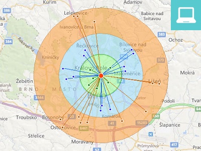
MapInfo Pro
Geographical analyses and corporate data visualization on a map. The basic features include thematic mapping, SQL querying, editing, and data modelling.
-

FME Desktop
Unique software for GIS/CAD and database data conversion, transformation or validation. Supports over 325 formats and thousands of coordinate systems.
-
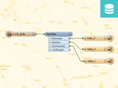
FME Server
Software addressing the requirements for fast data access. Allows users to download the necessary spatial data anywhere, anytime and in any format.
-
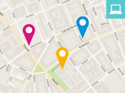
GeoMarker Pro
Solution for address verification and supplementation of missing or incorrectly written addresses incl. geocoding - adding XY coordinates.
-
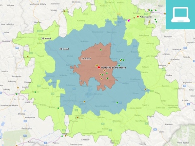
MapInfo RouteFinder
Software for creating catchment areas based on time or distance and route optimization from point A to B.
-
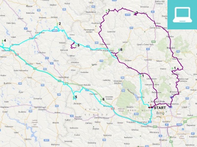
Tasha
Optimization solution for professional pick-up and delivery optimization based on a variety of input parameters and requirements.
-
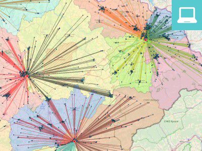
TourSolver
Optimization solution for sales representatives optimization and area modeling based on a variety of input parameters.
-
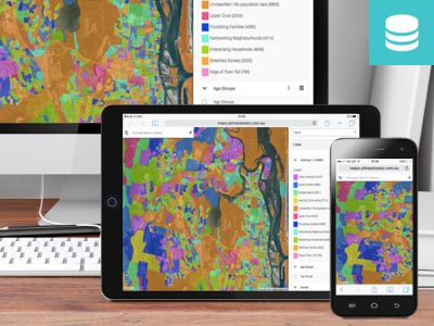
Spectrum Spatial
Web mapping solution allowing users to perform spatial analyses on the map directly in a web browser or mobile device.
-
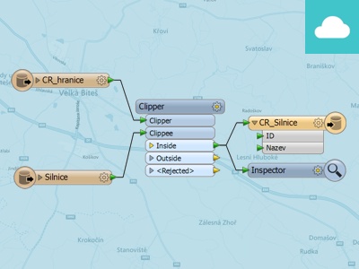
FME Cloud
The ideal solution for users who would like to use FME Server functionality but can not afford higher cost of software and hardware.