About us

CSmap s.r.o.

CSmap s.r.o. is a dynamic company operating since 1995 in the field of Geographic Information Systems (GIS), route optimization and special tools for the transformation of GIS / CAD formats. By developing customer requirements, we have also gradually integrated traffic optimization solutions and special tools for data conversion and transformation into our range of products and services.

We provide our customers with comprehensive services from the sale of software solutions, including the development of custom applications, through providing the necessary map data, to professional services including consultation, training or analysis.

csmap logo

The goal of our company is to be a reliable partner for geographic solutions based on the latest technologies for our clients. We offer our clients solutions to their specific problems by designing a suitable combination of products, data and services. If you are dealing with issues related to geographic viewing / processing of various types of data, route optimization or just need help, do not hesitate to contact us.

CERTIFICATES

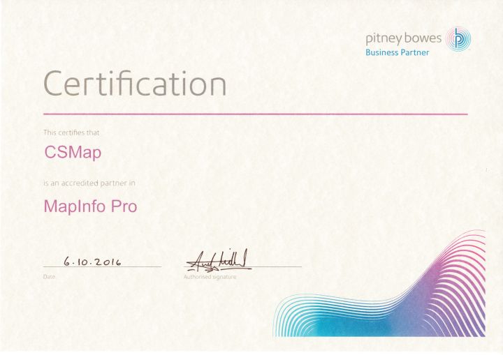
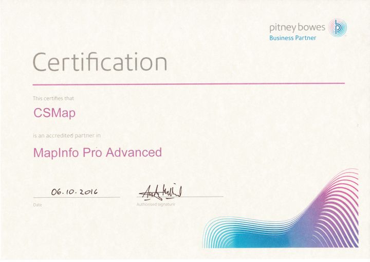
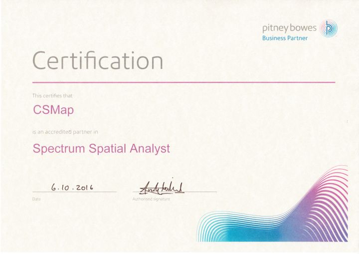
CSmap s.r.o. is a certified partner of Precisely, which was created as a new brand by merging Syncsort and Pitney Bowes Software & Data. Our team is certified for sales, consulting and training of MapInfo Pro, MapInfo Pro Advanced and Spectrum Spatial products. This means that customer data and outputs are processed by an experienced specialist. At the same time, reliable professionals take care of you during sales, consultations and trainings.

MapInfo Pro certificate

MapInfo Pro certificate

MapInfo Pro Advanced certificate

MapInfo Pro Advanced certificate

Spectrum Spatial Analyst certificate

Spectrum Spatial Analyst certificate

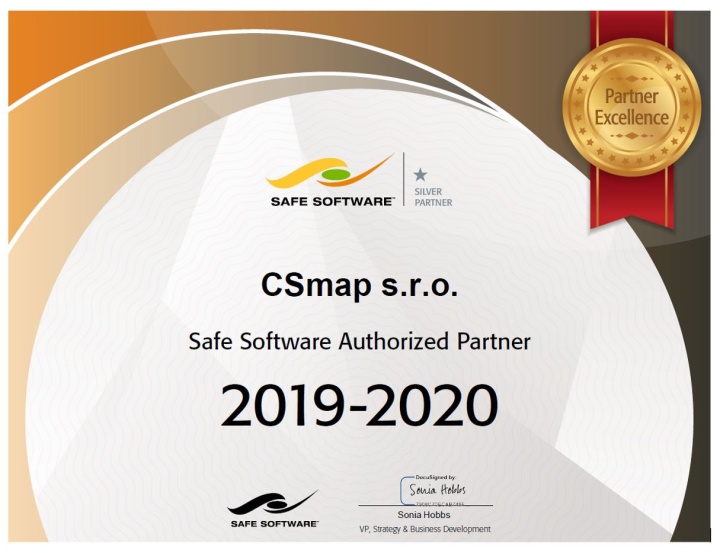
We are a certified partner of Safe Software. We have a certified FME product professional and other specialists who work intensively in this area in our team. During consultations, technical support and training of the FME program, a proven expert will provide you.

FME Certified Partner

FME Certified Partner

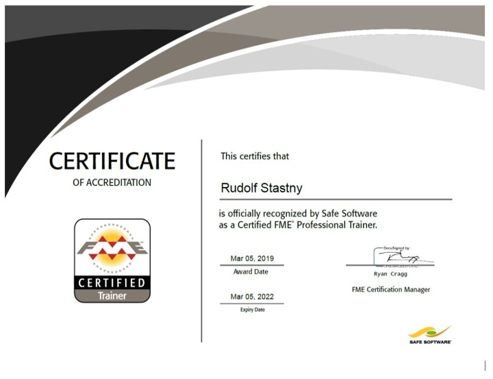
FME Professional Trainer certificate

FME Professional Trainer certificate

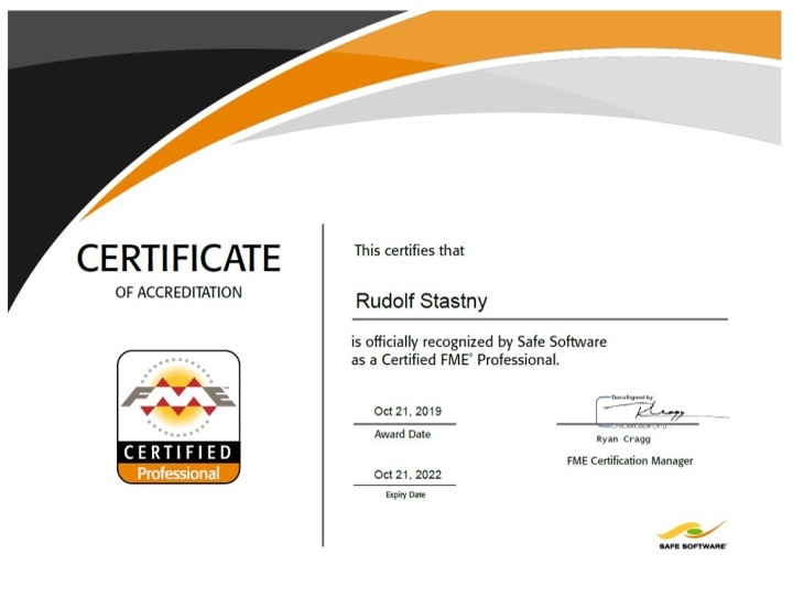
Certified FME Professional

Certified FME Professional

Main partners

In the field of geographic information systems, route optimization and transformation represents the company CSmap s.r.o in the Czech Republic and Slovakia, three important international companies that have been leading in their field for many years.

Precisely

We were formed when Syncsort and Pitney Bowes Software & Data combined, bringing together decades of experience and expertise in handling, processing and transforming data. Syncsort specialized in optimizing, integrating and advancing data, enabling customers to extract value from their information wherever and whenever they needed it. Pitney Bowes Software & Data brought unmatched proficiency in customer information management, location intelligence, data enrichment and customer engagement solutions.

Precisely brings together the best of these businesses to create an end-to-end, mature product portfolio with a singular focus on data integrity – all so we can help our customers move forward with confidence. Today, we have 12,000 enterprise customers, including 90 of the Fortune 100, in 100 countries worldwide.

Safe Software Inc.

Safe Software Inc. is the creator of FME and the leader in space transformation technologies that help GIS users and thousands of organizations across the globe address issues related to data interoperability. The FME solution is used by more than a thousand customers in more than 116 countries and across a wide range of industries. From small businesses to top international organizations, FME customers use tools to transform spatial data so that they can be used anywhere, whenever and exactly as they need.

The GIS solution also relies on a number of GIS and database providers. You can use FME in a variety of applications from major GIS vendors around the world, such as Autodesk, Esri, Google, IBM, Informatica, Intergraph, MapInfo, Microsoft, Oracle, Smallworld and many others.
GeoConcept Group

Founded in 1990, GeoConcept Group is a company specializing in the design and implementation of cartographic optimization technologies for professional use. With its own proprietary Geographical Information System (GIS), the GeoConcept Group now ranks among the world leaders in cartographical information and optimization applications for corporations and public organizations.

GeoConcept Group is designer of innovative solutions aiming to transform companies’ and organizations’ efficiency. By combining geographical information with optimization tools, the GeoConcept Group invented "geo-optimization"; optimizing activities by intelligently integrating geographical information with systems. Our geographical optimization applications apply to areas as diverse as geomarketing, territory management, crisis management and mobile workforce management.

OTHER SIGNIFICANT PARTNERS

In addition to the above-mentioned key partners, we work with a number of other companies, both on a business and technology basis. We are able to provide our customers with a comprehensive solution using state-of-the-art technologies.

SolverTech logo

SolverTech s.r.o. is our partner in the field of optimization tasks. It develops software to optimize delivery plans and is a supplier of a comprehensive solution to processes and procedures related to delivery planning.

Gamo logo

GAMO a.s. is our partner for the sale of MapInfo products in Slovakia. GAMO is a provider of comprehensive IT solutions, including design, deployment, and integration.

MB-International logo

MB-International offers a wide range of data products suitable for a range of geospatial analyzes. These include data on population, dwellings, unemployment, purchasing power, retail sales and consumer spending for most geographic levels and countries around the world.

Sabris logo

Sabris, s.r.o. is a certified partner of leading global companies such as SAP, OPENTEXT and MICROSOFT. It provides its customers with comprehensive, integrated solutions that deliver greater efficiency, lower costs and perfect control over the business.

Acrea logo

ACREA CR, spol. s r.o. is IBM's Certified Partner for the sale of IBM SPSS software in the Czech and Slovak Republic and provider of analytical, statistical and datamining services.

CEDA logo

Central European Data Agency (CEDA) manages its own database of vector map data of the Czech Republic and Slovakia. It participates in the creation of a pan-European seamless navigation database created by the multinational company TomTom.

References

From a wide range of our products and services, we are able to offer optimal solutions not only to large companies but also to medium and small companies from a wide range of industries.